
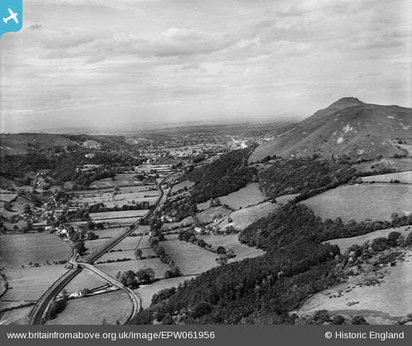
EPW061956 ENGLAND (1939). Ragleth Hill overlooking Church Stretton, Little Stretton, from the south, 1939
© Copyright OpenStreetMap contributors and licensed by the OpenStreetMap Foundation. 2026. Cartography is licensed as CC BY-SA.
Details
| Title | [EPW061956] Ragleth Hill overlooking Church Stretton, Little Stretton, from the south, 1939 |
| Reference | EPW061956 |
| Date | 10-June-1939 |
| Link | |
| Place name | LITTLE STRETTON |
| Parish | CHURCH STRETTON |
| District | |
| Country | ENGLAND |
| Easting / Northing | 344454, 291271 |
| Longitude / Latitude | -2.8186454482321, 52.516124592357 |
| National Grid Reference | SO445913 |
Pins

John W |
Friday 20th of May 2016 06:00:01 PM | |
|
Andrew Bennett |
Wednesday 30th of October 2013 12:14:51 AM | |
|
Andrew Bennett |
Wednesday 30th of October 2013 12:09:15 AM | |
|
Andrew Bennett |
Wednesday 30th of October 2013 12:06:21 AM | |
|
Andrew Bennett |
Wednesday 30th of October 2013 12:05:20 AM | |
|
Andrew Bennett |
Wednesday 30th of October 2013 12:05:15 AM |