
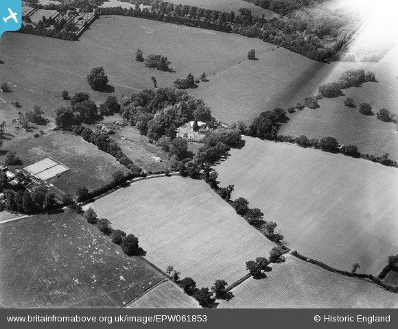
EPW061853 ENGLAND (1939). The Old Laundry and the surrounding countryside, Little Easton, 1939. This image has been affected by flare.
© Copyright OpenStreetMap contributors and licensed by the OpenStreetMap Foundation. 2024. Cartography is licensed as CC BY-SA.
Nearby Images (6)
EPW061853

EPW061856

EPW061858

EPW061852

EPW061855

EPW061854

Details
| Title | [EPW061853] The Old Laundry and the surrounding countryside, Little Easton, 1939. This image has been affected by flare. |
| Reference | EPW061853 |
| Date | June-1939 |
| Link | |
| Place name | LITTLE EASTON |
| Parish | LITTLE EASTON |
| District | |
| Country | ENGLAND |
| Easting / Northing | 560044, 224119 |
| Longitude / Latitude | 0.32607684646253, 51.892173641937 |
| National Grid Reference | TL600241 |
Pins
Be the first to add a comment to this image!