
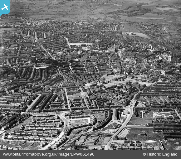
EPW061496 ENGLAND (1939). The town, Barnsley, from the south, 1939
© Copyright OpenStreetMap contributors and licensed by the OpenStreetMap Foundation. 2026. Cartography is licensed as CC BY-SA.
Details
| Title | [EPW061496] The town, Barnsley, from the south, 1939 |
| Reference | EPW061496 |
| Date | 2-June-1939 |
| Link | |
| Place name | BARNSLEY |
| Parish | |
| District | |
| Country | ENGLAND |
| Easting / Northing | 434539, 405569 |
| Longitude / Latitude | -1.4786959874863, 53.545378004734 |
| National Grid Reference | SE345056 |
