
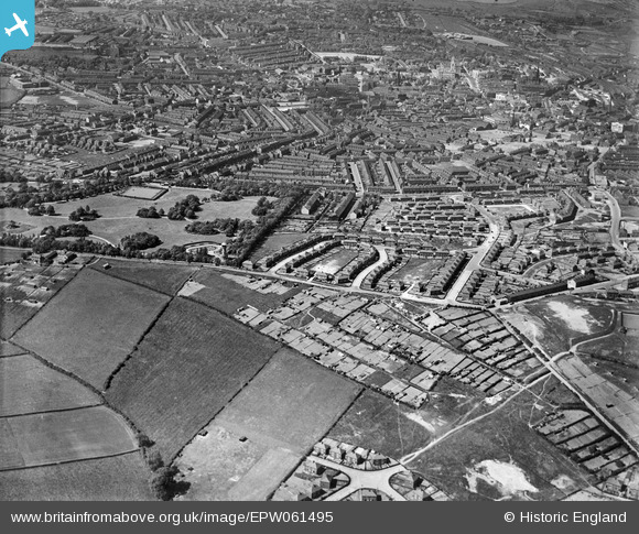
EPW061495 ENGLAND (1939). Worsbrough Common, Barnsley, from the south, 1939
© Copyright OpenStreetMap contributors and licensed by the OpenStreetMap Foundation. 2026. Cartography is licensed as CC BY-SA.
Details
| Title | [EPW061495] Worsbrough Common, Barnsley, from the south, 1939 |
| Reference | EPW061495 |
| Date | 2-June-1939 |
| Link | |
| Place name | BARNSLEY |
| Parish | |
| District | |
| Country | ENGLAND |
| Easting / Northing | 434400, 404911 |
| Longitude / Latitude | -1.4808662197492, 53.539472349794 |
| National Grid Reference | SE344049 |
Pins

jonboyuk |
Friday 20th of August 2021 04:17:52 PM | |
|
jonboyuk |
Friday 20th of August 2021 04:16:28 PM | |
|
jonboyuk |
Friday 20th of August 2021 04:16:03 PM | |

klowe |
Wednesday 9th of May 2018 09:43:43 PM | |
|
klowe |
Thursday 9th of November 2017 12:17:16 AM | |
|
klowe |
Thursday 9th of November 2017 12:14:51 AM | |
|
klowe |
Thursday 9th of November 2017 12:10:58 AM | |
|
klowe |
Thursday 9th of November 2017 12:06:17 AM | |
|
Peter Lawford |
Thursday 9th of February 2017 04:31:50 PM | |
|
markledger |
Monday 7th of April 2014 01:05:19 PM |