
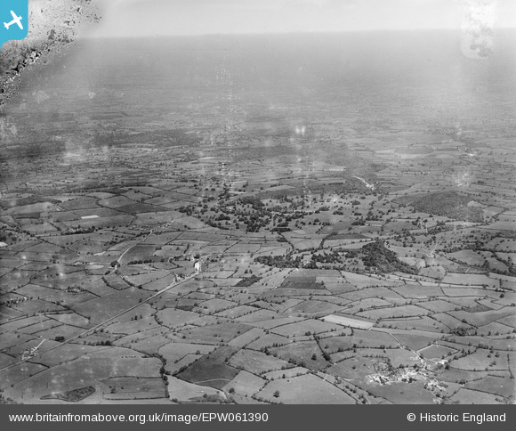
EPW061390 ENGLAND (1939). Cranmore Park and surrounding countryside, Cranmore, from the south-west, 1939. This image has been produced from a damaged negative.
© Copyright OpenStreetMap contributors and licensed by the OpenStreetMap Foundation. 2026. Cartography is licensed as CC BY-SA.
Details
| Title | [EPW061390] Cranmore Park and surrounding countryside, Cranmore, from the south-west, 1939. This image has been produced from a damaged negative. |
| Reference | EPW061390 |
| Date | 4-June-1939 |
| Link | |
| Place name | CRANMORE |
| Parish | CRANMORE |
| District | |
| Country | ENGLAND |
| Easting / Northing | 366703, 142456 |
| Longitude / Latitude | -2.4764125567183, 51.179845679717 |
| National Grid Reference | ST667425 |
Pins

Class31 |
Friday 1st of April 2016 07:09:18 AM | |
|
Class31 |
Monday 21st of July 2014 02:45:08 PM | |
|
Class31 |
Monday 21st of July 2014 02:43:39 PM | |
|
Class31 |
Wednesday 16th of July 2014 07:38:31 PM | |
|
Class31 |
Wednesday 16th of July 2014 07:37:45 PM | |
|
Class31 |
Wednesday 16th of July 2014 05:51:14 PM | |
|
Class31 |
Wednesday 16th of July 2014 05:32:21 PM | |
|
Class31 |
Thursday 12th of December 2013 06:16:30 PM | |
|
Class31 |
Thursday 12th of December 2013 06:15:48 PM | |
This line's full length was from a junction at Witham (on the Westbury-Taunton route) through Cranmore, Wells, Chedder and to a junction at Yatton with the GWR's main line from Bristol to Taunton. |

John W |
Saturday 13th of August 2016 10:44:26 PM |
|
Class31 |
Thursday 12th of December 2013 06:14:34 PM |


