
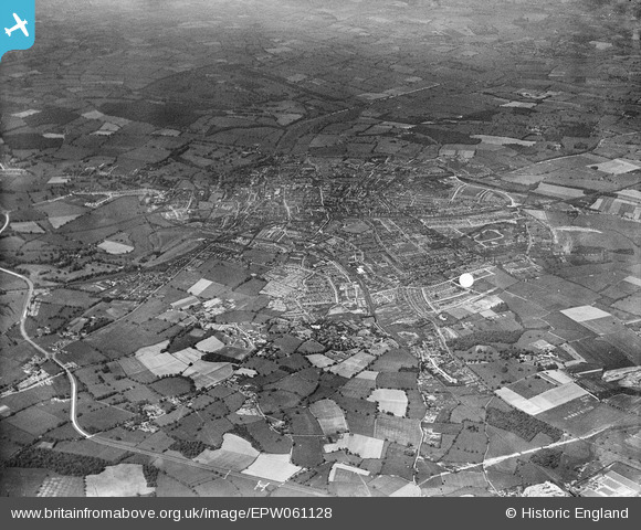
EPW061128 ENGLAND (1939). The city, St Albans, from the south-east, 1939
© Copyright OpenStreetMap contributors and licensed by the OpenStreetMap Foundation. 2026. Cartography is licensed as CC BY-SA.
Details
| Title | [EPW061128] The city, St Albans, from the south-east, 1939 |
| Reference | EPW061128 |
| Date | 30-May-1939 |
| Link | |
| Place name | ST ALBANS |
| Parish | |
| District | |
| Country | ENGLAND |
| Easting / Northing | 516937, 206814 |
| Longitude / Latitude | -0.30593304212298, 51.747349437883 |
| National Grid Reference | TL169068 |
Pins
Be the first to add a comment to this image!