
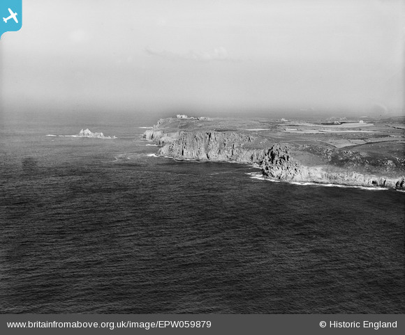
EPW059879 ENGLAND (1938). The coastline from Carn Boel to The Armed Knight, Land's End, from the south, 1938
© Copyright OpenStreetMap contributors and licensed by the OpenStreetMap Foundation. 2025. Cartography is licensed as CC BY-SA.
Details
| Title | [EPW059879] The coastline from Carn Boel to The Armed Knight, Land's End, from the south, 1938 |
| Reference | EPW059879 |
| Date | 22-September-1938 |
| Link | |
| Place name | LAND'S END |
| Parish | SENNEN |
| District | |
| Country | ENGLAND |
| Easting / Northing | 134616, 23831 |
| Longitude / Latitude | -5.7080247858975, 50.054667780539 |
| National Grid Reference | SW346238 |
Pins
Be the first to add a comment to this image!