
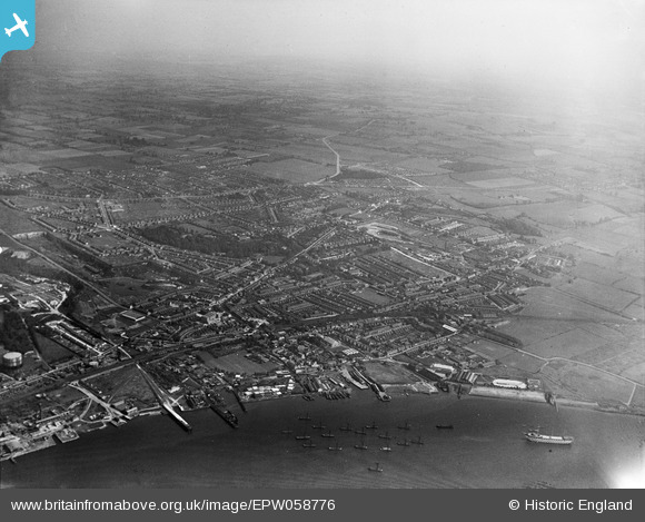
EPW058776 ENGLAND (1938). The town and environs, Grays, from the south-west, 1938
© Copyright OpenStreetMap contributors and licensed by the OpenStreetMap Foundation. 2026. Cartography is licensed as CC BY-SA.
Details
| Title | [EPW058776] The town and environs, Grays, from the south-west, 1938 |
| Reference | EPW058776 |
| Date | 24-August-1938 |
| Link | |
| Place name | GRAYS |
| Parish | |
| District | |
| Country | ENGLAND |
| Easting / Northing | 561514, 177633 |
| Longitude / Latitude | 0.32591112606806, 51.474084855166 |
| National Grid Reference | TQ615776 |
Pins

Stephen Mirrington |
Tuesday 23rd of September 2025 05:20:36 PM | |
|
Carlont |
Saturday 25th of September 2021 04:40:08 PM |