
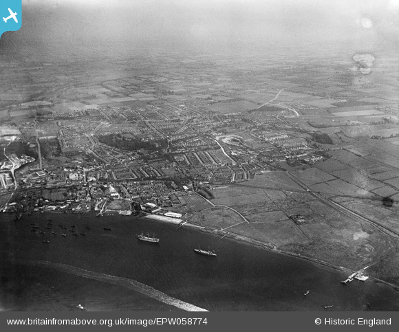
EPW058774 ENGLAND (1938). The town, the River Thames and environs, Grays, from the south, 1938. This image has been produced from a damaged negative.
© Copyright OpenStreetMap contributors and licensed by the OpenStreetMap Foundation. 2026. Cartography is licensed as CC BY-SA.
Details
| Title | [EPW058774] The town, the River Thames and environs, Grays, from the south, 1938. This image has been produced from a damaged negative. |
| Reference | EPW058774 |
| Date | 24-August-1938 |
| Link | |
| Place name | GRAYS |
| Parish | |
| District | |
| Country | ENGLAND |
| Easting / Northing | 561835, 177029 |
| Longitude / Latitude | 0.33025298991289, 51.468566111006 |
| National Grid Reference | TQ618770 |
Pins

Stephen Mirrington |
Tuesday 23rd of September 2025 05:26:40 PM |