
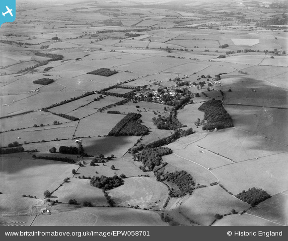
EPW058701 ENGLAND (1938). The village and surrounding countryside, Notgrove, from the south-east, 1938
© Copyright OpenStreetMap contributors and licensed by the OpenStreetMap Foundation. 2026. Cartography is licensed as CC BY-SA.
Details
| Title | [EPW058701] The village and surrounding countryside, Notgrove, from the south-east, 1938 |
| Reference | EPW058701 |
| Date | 15-August-1938 |
| Link | |
| Place name | NOTGROVE |
| Parish | NOTGROVE |
| District | |
| Country | ENGLAND |
| Easting / Northing | 411211, 219290 |
| Longitude / Latitude | -1.8371443412868, 51.871630131481 |
| National Grid Reference | SP112193 |
Pins

incony |
Thursday 4th of April 2019 12:51:39 PM | |
|
totoro |
Monday 8th of July 2013 05:47:28 PM | |
|
totoro |
Monday 8th of July 2013 05:42:47 PM | |
|
totoro |
Monday 8th of July 2013 05:42:13 PM | |
|
totoro |
Monday 8th of July 2013 05:41:24 PM | |
|
totoro |
Monday 8th of July 2013 05:41:00 PM | |
|
totoro |
Monday 8th of July 2013 05:37:20 PM | |
|
totoro |
Monday 8th of July 2013 05:36:27 PM | |
|
totoro |
Monday 8th of July 2013 05:35:39 PM | |
|
totoro |
Monday 8th of July 2013 05:35:20 PM | |
|
totoro |
Monday 8th of July 2013 05:34:40 PM | |
|
totoro |
Monday 8th of July 2013 05:33:49 PM | |
|
totoro |
Monday 8th of July 2013 05:32:52 PM |