
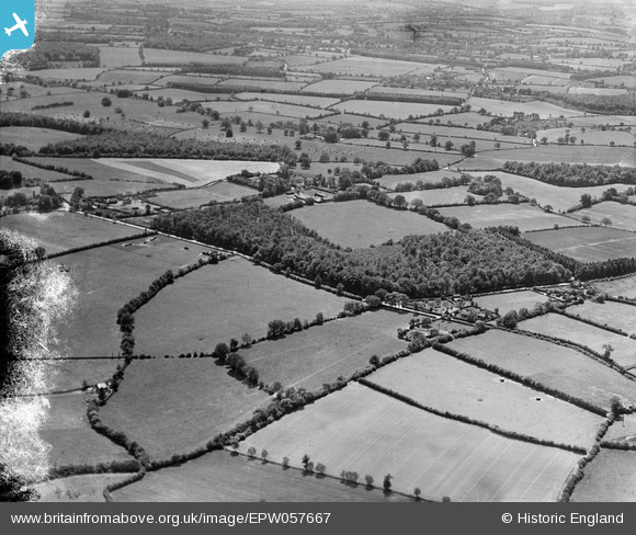
EPW057667 ENGLAND (1938). The Plantation, Chambers Green Farm and the surrounding countryside, St Leonards, 1938. This image has been produced from a damaged negative.
© Copyright OpenStreetMap contributors and licensed by the OpenStreetMap Foundation. 2026. Cartography is licensed as CC BY-SA.
Details
| Title | [EPW057667] The Plantation, Chambers Green Farm and the surrounding countryside, St Leonards, 1938. This image has been produced from a damaged negative. |
| Reference | EPW057667 |
| Date | 21-June-1938 |
| Link | |
| Place name | ST LEONARDS |
| Parish | CHOLESBURY-CUM-ST. LEONARDS |
| District | |
| Country | ENGLAND |
| Easting / Northing | 490642, 207322 |
| Longitude / Latitude | -0.68661280539305, 51.756788806118 |
| National Grid Reference | SP906073 |
Pins
Be the first to add a comment to this image!