
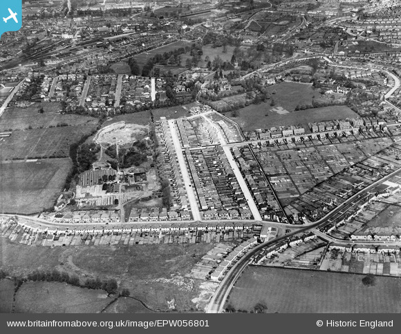
EPW056801 ENGLAND (1938). The residential area surrounding Jubilee Road and Coronation Road adjacent to the Brick and Tile Works, Aldershot, 1938
© Copyright OpenStreetMap contributors and licensed by the OpenStreetMap Foundation. 2025. Cartography is licensed as CC BY-SA.
Details
| Title | [EPW056801] The residential area surrounding Jubilee Road and Coronation Road adjacent to the Brick and Tile Works, Aldershot, 1938 |
| Reference | EPW056801 |
| Date | 10-April-1938 |
| Link | |
| Place name | ALDERSHOT |
| Parish | |
| District | |
| Country | ENGLAND |
| Easting / Northing | 486814, 149466 |
| Longitude / Latitude | -0.75630457737286, 51.237248743418 |
| National Grid Reference | SU868495 |
Pins

DavidB |
Saturday 9th of March 2024 08:00:13 PM | |
|
flubber |
Saturday 11th of August 2018 04:03:13 PM | |
|
flubber |
Saturday 11th of August 2018 04:02:32 PM | |
|
flubber |
Saturday 11th of August 2018 04:01:56 PM | |
|
Vauni |
Tuesday 12th of July 2016 10:24:24 AM | |
|
Vauni |
Tuesday 12th of July 2016 10:23:31 AM | |
|
Vauni |
Tuesday 12th of July 2016 10:21:52 AM | |
|
Vauni |
Tuesday 12th of July 2016 10:21:34 AM | |
|
Vauni |
Tuesday 12th of July 2016 10:21:10 AM | |
|
Sweet Pete |
Saturday 14th of November 2015 02:07:44 PM | |
|
Sweet Pete |
Saturday 14th of November 2015 02:06:50 PM |