
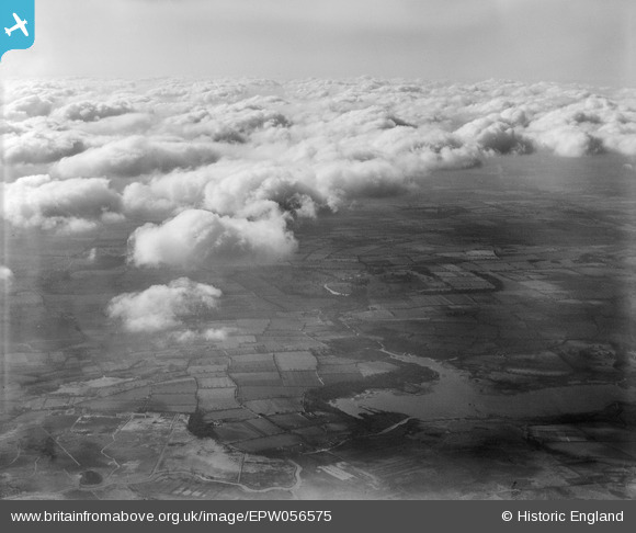
EPW056575 ENGLAND (1938). Barton Broad and the surrounding countryside under cloud, Irstead, from the east, 1938
© Copyright OpenStreetMap contributors and licensed by the OpenStreetMap Foundation. 2025. Cartography is licensed as CC BY-SA.
Details
| Title | [EPW056575] Barton Broad and the surrounding countryside under cloud, Irstead, from the east, 1938 |
| Reference | EPW056575 |
| Date | 14-March-1938 |
| Link | |
| Place name | IRSTEAD |
| Parish | BARTON TURF |
| District | |
| Country | ENGLAND |
| Easting / Northing | 635496, 320700 |
| Longitude / Latitude | 1.4884559561884, 52.732223266799 |
| National Grid Reference | TG355207 |
Pins
Be the first to add a comment to this image!