
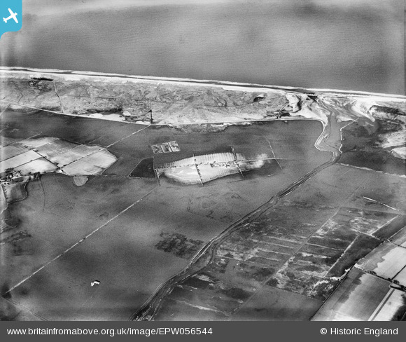
EPW056544 ENGLAND (1938). Flooding around Ford's Farm and the Hundred Stream, Horsey, 1938
© Copyright OpenStreetMap contributors and licensed by the OpenStreetMap Foundation. 2026. Cartography is licensed as CC BY-SA.
Details
| Title | [EPW056544] Flooding around Ford's Farm and the Hundred Stream, Horsey, 1938 |
| Reference | EPW056544 |
| Date | 12-March-1938 |
| Link | |
| Place name | HORSEY |
| Parish | HORSEY |
| District | |
| Country | ENGLAND |
| Easting / Northing | 646914, 322376 |
| Longitude / Latitude | 1.6584871791142, 52.742170001222 |
| National Grid Reference | TG469224 |
Pins

incony |
Friday 5th of April 2019 01:28:30 PM | |
 |
incony |
Friday 5th of April 2019 01:26:16 PM |

Class31 |
Tuesday 20th of August 2013 09:02:47 AM |