
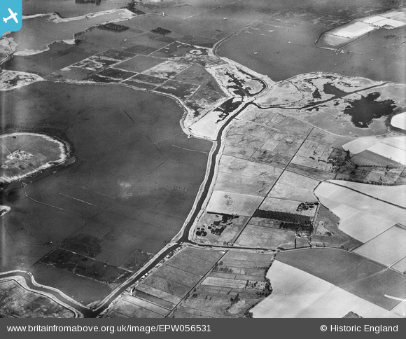
EPW056531 ENGLAND (1938). Flooding around Eelfleet Dyke and the River Thurne, Heigham Holmes, 1938
© Copyright OpenStreetMap contributors and licensed by the OpenStreetMap Foundation. 2025. Cartography is licensed as CC BY-SA.
Details
| Title | [EPW056531] Flooding around Eelfleet Dyke and the River Thurne, Heigham Holmes, 1938 |
| Reference | EPW056531 |
| Date | 12-March-1938 |
| Link | |
| Place name | HEIGHAM HOLMES |
| Parish | POTTER HEIGHAM |
| District | |
| Country | ENGLAND |
| Easting / Northing | 644916, 320015 |
| Longitude / Latitude | 1.6271870866833, 52.721894347771 |
| National Grid Reference | TG449200 |
Pins
Be the first to add a comment to this image!