
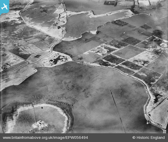
EPW056494 ENGLAND (1938). Flooding around Blackfleet Broad, Heigham Holmes, 1938
© Copyright OpenStreetMap contributors and licensed by the OpenStreetMap Foundation. 2025. Cartography is licensed as CC BY-SA.
Details
| Title | [EPW056494] Flooding around Blackfleet Broad, Heigham Holmes, 1938 |
| Reference | EPW056494 |
| Date | 12-March-1938 |
| Link | |
| Place name | HEIGHAM HOLMES |
| Parish | POTTER HEIGHAM |
| District | |
| Country | ENGLAND |
| Easting / Northing | 644637, 321168 |
| Longitude / Latitude | 1.6239228494946, 52.73236600395 |
| National Grid Reference | TG446212 |
Pins
Be the first to add a comment to this image!