
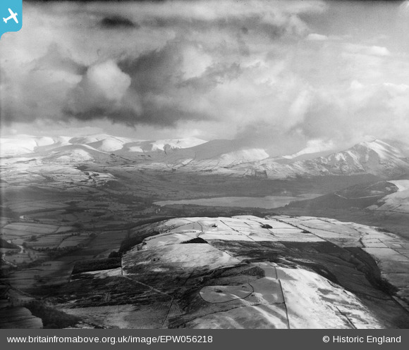
EPW056218 ENGLAND (1937). The northern end of Bassenthwaite Lake and Skiddaw shrouded in cloud, Setmurthy Common, from the west, 1937
© Copyright OpenStreetMap contributors and licensed by the OpenStreetMap Foundation. 2025. Cartography is licensed as CC BY-SA.
Details
| Title | [EPW056218] The northern end of Bassenthwaite Lake and Skiddaw shrouded in cloud, Setmurthy Common, from the west, 1937 |
| Reference | EPW056218 |
| Date | 6-December-1937 |
| Link | |
| Place name | SETMURTHY COMMON |
| Parish | SETMURTHY |
| District | |
| Country | ENGLAND |
| Easting / Northing | 316770, 532022 |
| Longitude / Latitude | -3.2908978604853, 54.676265808816 |
| National Grid Reference | NY168320 |
Pins
Be the first to add a comment to this image!