
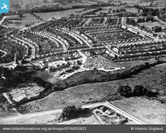
EPW055821 ENGLAND (1937). Construction of housing around St Andrew's Road and environs, Welsh Harp, 1937. This image has been produced from a copy-negative.
© Copyright OpenStreetMap contributors and licensed by the OpenStreetMap Foundation. 2025. Cartography is licensed as CC BY-SA.
Details
| Title | [EPW055821] Construction of housing around St Andrew's Road and environs, Welsh Harp, 1937. This image has been produced from a copy-negative. |
| Reference | EPW055821 |
| Date | 15-October-1937 |
| Link | |
| Place name | WELSH HARP |
| Parish | |
| District | |
| Country | ENGLAND |
| Easting / Northing | 520617, 187069 |
| Longitude / Latitude | -0.25946117488236, 51.569099200241 |
| National Grid Reference | TQ206871 |
Pins
Be the first to add a comment to this image!