
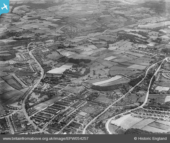
EPW054257 ENGLAND (1937). Greenside and Almondbury, Huddersfield, from the north-west, 1937
© Copyright OpenStreetMap contributors and licensed by the OpenStreetMap Foundation. 2026. Cartography is licensed as CC BY-SA.
Details
| Title | [EPW054257] Greenside and Almondbury, Huddersfield, from the north-west, 1937 |
| Reference | EPW054257 |
| Date | 13-July-1937 |
| Link | |
| Place name | HUDDERSFIELD |
| Parish | |
| District | |
| Country | ENGLAND |
| Easting / Northing | 416173, 416287 |
| Longitude / Latitude | -1.7553373812324, 53.642611644746 |
| National Grid Reference | SE162163 |
Pins

RoyPlum |
Thursday 26th of November 2020 04:25:27 PM | |
|
RoyPlum |
Thursday 26th of November 2020 04:23:52 PM | |
|
RoyPlum |
Thursday 26th of November 2020 04:22:38 PM | |
|
RoyPlum |
Thursday 26th of November 2020 04:21:22 PM | |
|
phil |
Sunday 27th of December 2015 02:12:11 PM | |
|
walkies2000 |
Thursday 24th of October 2013 10:29:04 AM |