
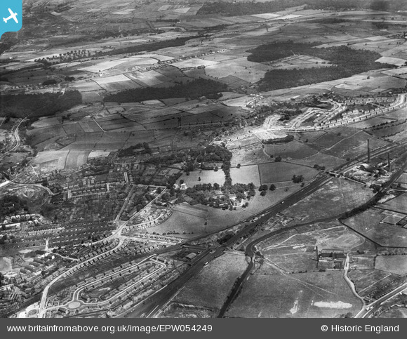
EPW054249 ENGLAND (1937). Woodhouse Hill and Sheepridge, Huddersfield, from the south, 1937
© Copyright OpenStreetMap contributors and licensed by the OpenStreetMap Foundation. 2026. Cartography is licensed as CC BY-SA.
Details
| Title | [EPW054249] Woodhouse Hill and Sheepridge, Huddersfield, from the south, 1937 |
| Reference | EPW054249 |
| Date | 13-July-1937 |
| Link | |
| Place name | HUDDERSFIELD |
| Parish | |
| District | |
| Country | ENGLAND |
| Easting / Northing | 415186, 418575 |
| Longitude / Latitude | -1.7701565924936, 53.663208420584 |
| National Grid Reference | SE152186 |
Pins

Badger |
Tuesday 1st of March 2022 09:04:24 PM | |
|
Stan |
Monday 12th of January 2015 10:26:35 AM | |
|
Stan |
Monday 12th of January 2015 10:25:58 AM | |
|
Stan |
Monday 12th of January 2015 10:25:34 AM | |
|
Stan |
Monday 12th of January 2015 10:24:11 AM | |
|
Stan |
Monday 12th of January 2015 10:15:19 AM |
