
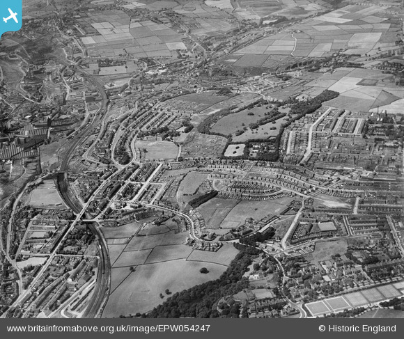
EPW054247 ENGLAND (1937). Royds Hall and Cliff End, Huddersfield, 1937
© Copyright OpenStreetMap contributors and licensed by the OpenStreetMap Foundation. 2026. Cartography is licensed as CC BY-SA.
Details
| Title | [EPW054247] Royds Hall and Cliff End, Huddersfield, 1937 |
| Reference | EPW054247 |
| Date | 13-July-1937 |
| Link | |
| Place name | HUDDERSFIELD |
| Parish | |
| District | |
| Country | ENGLAND |
| Easting / Northing | 412458, 416631 |
| Longitude / Latitude | -1.8115231504475, 53.645805580813 |
| National Grid Reference | SE125166 |
Pins

JSC |
Monday 1st of April 2024 03:36:13 PM | |
|
BornNBred |
Thursday 17th of February 2022 08:46:14 AM | |
|
Kris |
Thursday 13th of May 2021 06:41:47 PM | |
|
Kris |
Thursday 13th of May 2021 02:14:03 PM | |
|
Kris |
Thursday 13th of May 2021 02:13:10 PM | |
|
gBr |
Saturday 10th of October 2015 07:00:35 PM | |
|
Richm86 |
Saturday 2nd of November 2013 12:36:40 PM | |
|
Richm86 |
Saturday 2nd of November 2013 12:28:42 PM |