
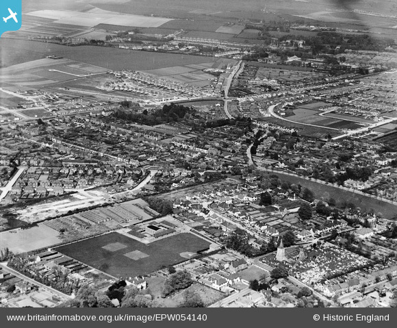
EPW054140 ENGLAND (1937). The Southwick and Shoreham Senior Girls School and the town, Southwick, from the south-west, 1937
© Copyright OpenStreetMap contributors and licensed by the OpenStreetMap Foundation. 2026. Cartography is licensed as CC BY-SA.
Details
| Title | [EPW054140] The Southwick and Shoreham Senior Girls School and the town, Southwick, from the south-west, 1937 |
| Reference | EPW054140 |
| Date | 7-July-1937 |
| Link | |
| Place name | SOUTHWICK |
| Parish | |
| District | |
| Country | ENGLAND |
| Easting / Northing | 523893, 105482 |
| Longitude / Latitude | -0.24038506962638, 50.835031504597 |
| National Grid Reference | TQ239055 |
Pins

AndyP |
Monday 29th of June 2020 12:03:51 PM | |
|
Luckylea |
Monday 9th of January 2017 10:49:42 PM | |
|
SAS |
Wednesday 30th of November 2016 12:08:33 AM | |
|
SAS |
Wednesday 30th of November 2016 12:07:10 AM | |
|
micky |
Tuesday 8th of October 2013 05:30:29 PM | |
|
micky |
Tuesday 8th of October 2013 05:28:41 PM | |

Alan McFaden |
Monday 9th of September 2013 12:00:04 PM |
