
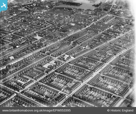
EPW053395 ENGLAND (1937). Residential area around Wellsby Street and Stanley Street, Grimsby, from the south-east, 1937
© Copyright OpenStreetMap contributors and licensed by the OpenStreetMap Foundation. 2025. Cartography is licensed as CC BY-SA.
Details
| Title | [EPW053395] Residential area around Wellsby Street and Stanley Street, Grimsby, from the south-east, 1937 |
| Reference | EPW053395 |
| Date | 31-May-1937 |
| Link | |
| Place name | GRIMSBY |
| Parish | |
| District | |
| Country | ENGLAND |
| Easting / Northing | 528247, 409796 |
| Longitude / Latitude | -0.06317103127043, 53.568832034519 |
| National Grid Reference | TA282098 |
Pins
Be the first to add a comment to this image!