
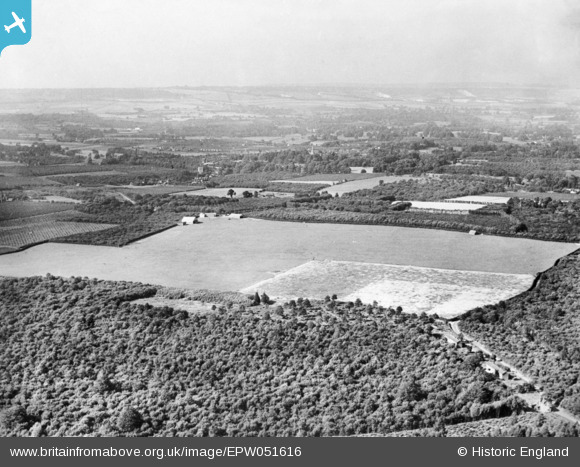
EPW051616 ENGLAND (1936). Maidstone Airport (West Malling Airfield), West Malling, from the south, 1936. This image has been produced from a copy-negative.
© Copyright OpenStreetMap contributors and licensed by the OpenStreetMap Foundation. 2026. Cartography is licensed as CC BY-SA.
Details
| Title | [EPW051616] Maidstone Airport (West Malling Airfield), West Malling, from the south, 1936. This image has been produced from a copy-negative. |
| Reference | EPW051616 |
| Date | August-1936 |
| Link | |
| Place name | WEST MALLING |
| Parish | KINGS HILL |
| District | |
| Country | ENGLAND |
| Easting / Northing | 567884, 155278 |
| Longitude / Latitude | 0.40699623014289, 51.271376791786 |
| National Grid Reference | TQ679553 |
Pins

gareth19822002 |
Tuesday 25th of October 2022 04:30:53 PM | |
|
gareth19822002 |
Tuesday 25th of October 2022 04:30:44 PM | |
|
gareth19822002 |
Tuesday 25th of October 2022 02:29:31 PM | |
|
I in the sky |
Saturday 15th of February 2020 01:50:52 PM |
