
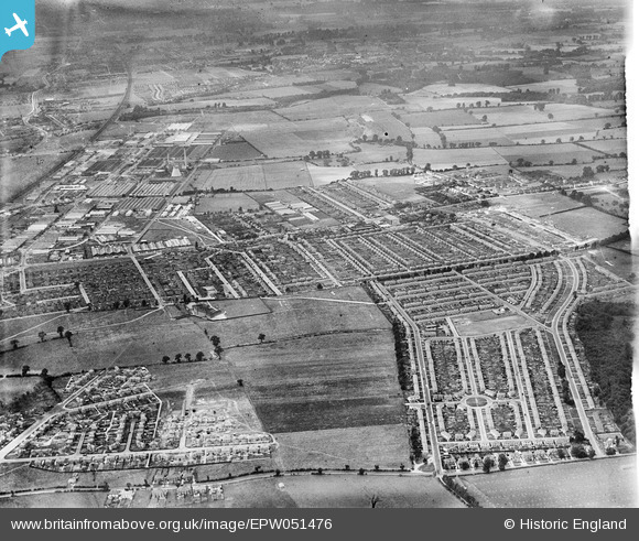
EPW051476 ENGLAND (1936). Manor Park housing estate and environs, Slough, 1936
© Copyright OpenStreetMap contributors and licensed by the OpenStreetMap Foundation. 2026. Cartography is licensed as CC BY-SA.
Details
| Title | [EPW051476] Manor Park housing estate and environs, Slough, 1936 |
| Reference | EPW051476 |
| Date | August-1936 |
| Link | |
| Place name | SLOUGH |
| Parish | |
| District | |
| Country | ENGLAND |
| Easting / Northing | 496316, 181700 |
| Longitude / Latitude | -0.61147705492797, 51.525509183812 |
| National Grid Reference | SU963817 |
Pins

Lynn |
Saturday 8th of December 2018 10:51:31 PM | |
|
designking |
Saturday 27th of October 2018 07:17:32 PM | |
|
designking |
Saturday 27th of October 2018 07:12:48 PM | |
|
designking |
Saturday 27th of October 2018 07:12:10 PM | |
|
designking |
Saturday 27th of October 2018 07:11:10 PM | |
|
Mike Holder |
Thursday 1st of February 2018 05:26:14 PM | |
|
nikksie |
Wednesday 2nd of March 2016 03:21:36 PM | |
|
nikksie |
Wednesday 2nd of March 2016 10:53:24 AM | |
|
Mike Holder |
Friday 16th of January 2015 09:57:28 PM | |
|
payitforwardeddie |
Friday 14th of June 2013 06:15:39 PM | |
|
payitforwardeddie |
Friday 14th of June 2013 06:12:33 PM | |
|
payitforwardeddie |
Friday 14th of June 2013 06:06:56 PM | |
|
dave43 |
Monday 13th of May 2013 09:48:48 PM |
User Comment Contributions
We lived for a while in Surrey Avenue as kids and mum and dad would take us to the "ambo", dad would sometimes have a pint or two in the pub next door at the weekends |
nikksie |
Wednesday 2nd of March 2016 10:51:10 AM |