
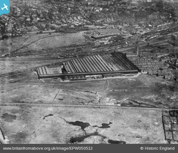
EPW050512 ENGLAND (1936). Royal Ordnance Factory 23 under construcation, Nottingham, 1936. This image has been produced from a copy-negative.
© Copyright OpenStreetMap contributors and licensed by the OpenStreetMap Foundation. 2026. Cartography is licensed as CC BY-SA.
Details
| Title | [EPW050512] Royal Ordnance Factory 23 under construcation, Nottingham, 1936. This image has been produced from a copy-negative. |
| Reference | EPW050512 |
| Date | June-1936 |
| Link | |
| Place name | NOTTINGHAM |
| Parish | |
| District | |
| Country | ENGLAND |
| Easting / Northing | 456328, 338620 |
| Longitude / Latitude | -1.1617060810589, 52.941696453271 |
| National Grid Reference | SK563386 |

