
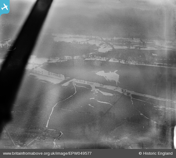
EPW049577 ENGLAND (1936). Flooding at Eton and Eton Wick, Eton, 1936
© Copyright OpenStreetMap contributors and licensed by the OpenStreetMap Foundation. 2026. Cartography is licensed as CC BY-SA.
Details
| Title | [EPW049577] Flooding at Eton and Eton Wick, Eton, 1936 |
| Reference | EPW049577 |
| Date | January-1936 |
| Link | |
| Place name | ETON |
| Parish | ETON |
| District | |
| Country | ENGLAND |
| Easting / Northing | 496285, 178575 |
| Longitude / Latitude | -0.61277748954506, 51.497421191421 |
| National Grid Reference | SU963786 |
Pins

Class31 |
Friday 17th of May 2013 05:03:05 PM | |
|
Class31 |
Friday 17th of May 2013 04:38:14 PM |
User Comment Contributions
View is looking south towards Windsor across the River Thames along the line of the road I know as the Windsor Relief Road. |
Class31 |
Tuesday 2nd of July 2013 03:39:30 PM |
Thanks for identifying the location of this image, Class31. We'll update the catalogue and post the new record here in due course. Yours, Katy Britain from Above Cataloguing Team Leader |
Katy Whitaker |
Tuesday 2nd of July 2013 03:39:30 PM |