
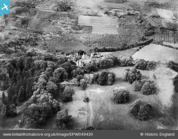
EPW049430 ENGLAND (1935). St Nicholas's Church and the surrounding area, Linton, 1935. This image has been produced from a damaged copy-negative.
© Copyright OpenStreetMap contributors and licensed by the OpenStreetMap Foundation. 2026. Cartography is licensed as CC BY-SA.
Details
| Title | [EPW049430] St Nicholas's Church and the surrounding area, Linton, 1935. This image has been produced from a damaged copy-negative. |
| Reference | EPW049430 |
| Date | October-1935 |
| Link | |
| Place name | LINTON |
| Parish | LINTON |
| District | |
| Country | ENGLAND |
| Easting / Northing | 575449, 150161 |
| Longitude / Latitude | 0.51283977413698, 51.22312546224 |
| National Grid Reference | TQ754502 |
Pins
Be the first to add a comment to this image!