
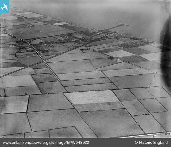
EPW048932 ENGLAND (1935). New Holland Pier, the village and surrounding countryside, New Holland, 1935. This image has been produced from a damaged negative.
© Copyright OpenStreetMap contributors and licensed by the OpenStreetMap Foundation. 2026. Cartography is licensed as CC BY-SA.
Details
| Title | [EPW048932] New Holland Pier, the village and surrounding countryside, New Holland, 1935. This image has been produced from a damaged negative. |
| Reference | EPW048932 |
| Date | August-1935 |
| Link | |
| Place name | NEW HOLLAND |
| Parish | NEW HOLLAND |
| District | |
| Country | ENGLAND |
| Easting / Northing | 509137, 423575 |
| Longitude / Latitude | -0.34679933319043, 53.696967279498 |
| National Grid Reference | TA091236 |
Pins
Be the first to add a comment to this image!