
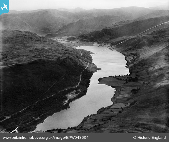
EPW048604 ENGLAND (1935). Low Water and High Water (Haweswater Reservoir) and surrounding countryside, Naddle Forest, from the north-east, 1935. This image has been produced from a damaged negative.
© Copyright OpenStreetMap contributors and licensed by the OpenStreetMap Foundation. 2026. Cartography is licensed as CC BY-SA.
Details
| Title | [EPW048604] Low Water and High Water (Haweswater Reservoir) and surrounding countryside, Naddle Forest, from the north-east, 1935. This image has been produced from a damaged negative. |
| Reference | EPW048604 |
| Date | July-1935 |
| Link | |
| Place name | NADDLE FOREST |
| Parish | SHAP RURAL |
| District | |
| Country | ENGLAND |
| Easting / Northing | 349409, 515248 |
| Longitude / Latitude | -2.7818423722259, 54.529853673218 |
| National Grid Reference | NY494152 |
Pins
Be the first to add a comment to this image!