
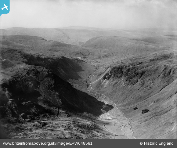
EPW048581 ENGLAND (1935). The northern end of the Longsleddale Valley, Longsleddale, from the south, 1935
© Copyright OpenStreetMap contributors and licensed by the OpenStreetMap Foundation. 2025. Cartography is licensed as CC BY-SA.
Details
| Title | [EPW048581] The northern end of the Longsleddale Valley, Longsleddale, from the south, 1935 |
| Reference | EPW048581 |
| Date | July-1935 |
| Link | |
| Place name | LONGSLEDDALE |
| Parish | LONGSLEDDALE |
| District | |
| Country | ENGLAND |
| Easting / Northing | 347792, 507514 |
| Longitude / Latitude | -2.805461312198, 54.460183509806 |
| National Grid Reference | NY478075 |
Pins
Be the first to add a comment to this image!