
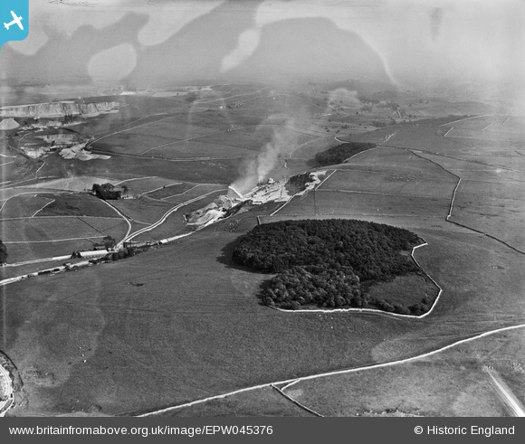
EPW045376 ENGLAND (1934). Staker Wood above Hillhead Limestone Quarry, Staker Hill, from the north-west, 1934. This image has been produced from a damaged negative.
© Copyright OpenStreetMap contributors and licensed by the OpenStreetMap Foundation. 2026. Cartography is licensed as CC BY-SA.
Details
| Title | [EPW045376] Staker Wood above Hillhead Limestone Quarry, Staker Hill, from the north-west, 1934. This image has been produced from a damaged negative. |
| Reference | EPW045376 |
| Date | July-1934 |
| Link | |
| Place name | STAKER HILL |
| Parish | HARTINGTON UPPER QUARTER |
| District | |
| Country | ENGLAND |
| Easting / Northing | 406728, 370098 |
| Longitude / Latitude | -1.8992067238107, 53.227600251483 |
| National Grid Reference | SK067701 |
Pins
Be the first to add a comment to this image!