
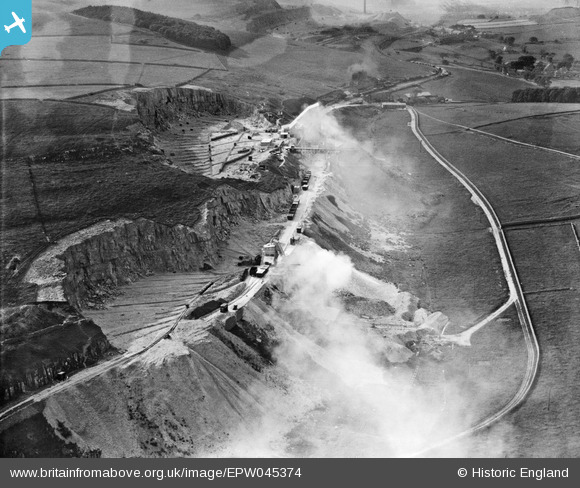
EPW045374 ENGLAND (1934). Hillhead Limestone Quarry, Staker Hill, 1934
© Copyright OpenStreetMap contributors and licensed by the OpenStreetMap Foundation. 2024. Cartography is licensed as CC BY-SA.
Nearby Images (5)
EPW045374

EPW045373

EPW045372

EPW051662

EPW045375

Details
| Title | [EPW045374] Hillhead Limestone Quarry, Staker Hill, 1934 |
| Reference | EPW045374 |
| Date | July-1934 |
| Link | |
| Place name | STAKER HILL |
| Parish | HARTINGTON UPPER QUARTER |
| District | |
| Country | ENGLAND |
| Easting / Northing | 407260, 369612 |
| Longitude / Latitude | -1.8912478288212, 53.223224173719 |
| National Grid Reference | SK073696 |
Pins
Be the first to add a comment to this image!


