
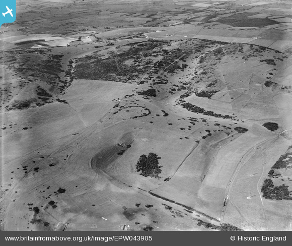
EPW043905 ENGLAND (1934). Thundersbarrow Hill, Bushy Bottom, The Warren and environs, Thundersbarrow Hill, 1934
© Copyright OpenStreetMap contributors and licensed by the OpenStreetMap Foundation. 2025. Cartography is licensed as CC BY-SA.
Details
| Title | [EPW043905] Thundersbarrow Hill, Bushy Bottom, The Warren and environs, Thundersbarrow Hill, 1934 |
| Reference | EPW043905 |
| Date | March-1934 |
| Link | |
| Place name | THUNDERSBARROW HILL |
| Parish | |
| District | |
| Country | ENGLAND |
| Easting / Northing | 522968, 109022 |
| Longitude / Latitude | -0.25232692047626, 50.867051018985 |
| National Grid Reference | TQ230090 |
Pins
Be the first to add a comment to this image!