
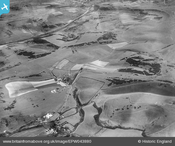
EPW043880 ENGLAND (1934). Saddlescombe hamlet, Devil's Dyke and environs, Saddlescome, 1934
© Copyright OpenStreetMap contributors and licensed by the OpenStreetMap Foundation. 2025. Cartography is licensed as CC BY-SA.
Details
| Title | [EPW043880] Saddlescombe hamlet, Devil's Dyke and environs, Saddlescome, 1934 |
| Reference | EPW043880 |
| Date | March-1934 |
| Link | |
| Place name | SADDLESCOMBE |
| Parish | NEWTIMBER |
| District | |
| Country | ENGLAND |
| Easting / Northing | 527259, 111168 |
| Longitude / Latitude | -0.1906262888471, 50.885412525763 |
| National Grid Reference | TQ273112 |
Pins
Be the first to add a comment to this image!