
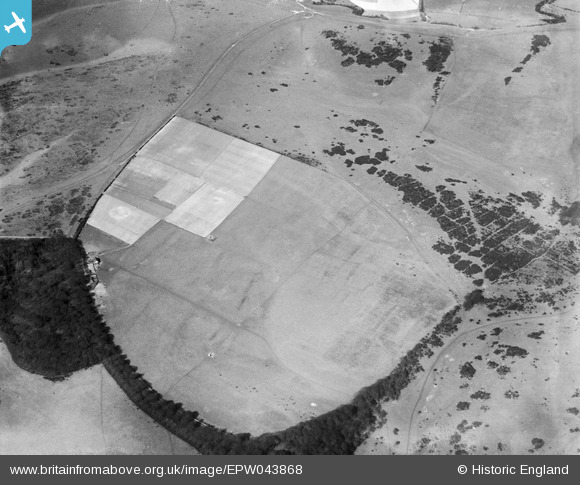
EPW043868 ENGLAND (1934). Big Bottom and High Park Wood, Westmeston, 1934
© Copyright OpenStreetMap contributors and licensed by the OpenStreetMap Foundation. 2026. Cartography is licensed as CC BY-SA.
Details
| Title | [EPW043868] Big Bottom and High Park Wood, Westmeston, 1934 |
| Reference | EPW043868 |
| Date | March-1934 |
| Link | |
| Place name | WESTMESTON |
| Parish | WESTMESTON |
| District | |
| Country | ENGLAND |
| Easting / Northing | 533502, 111796 |
| Longitude / Latitude | -0.10168441077549, 50.88964814605 |
| National Grid Reference | TQ335118 |
Pins
Be the first to add a comment to this image!