
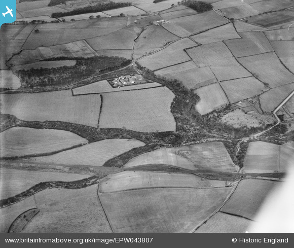
EPW043807 ENGLAND (1934). Norman's Riding Hospital, Lillycrook Hill and the Garesfield and Chopwell Railway, Low Thornley, 1934
© Copyright OpenStreetMap contributors and licensed by the OpenStreetMap Foundation. 2025. Cartography is licensed as CC BY-SA.
Details
| Title | [EPW043807] Norman's Riding Hospital, Lillycrook Hill and the Garesfield and Chopwell Railway, Low Thornley, 1934 |
| Reference | EPW043807 |
| Date | February-1934 |
| Link | |
| Place name | LOW THORNELY |
| Parish | |
| District | |
| Country | ENGLAND |
| Easting / Northing | 416815, 560688 |
| Longitude / Latitude | -1.7374989949653, 54.940494033356 |
| National Grid Reference | NZ168607 |
Pins

Tired Hiker |
Wednesday 11th of October 2023 12:03:07 PM | |
|
totoro |
Tuesday 8th of March 2016 10:28:27 PM | |
|
totoro |
Tuesday 8th of March 2016 10:27:53 PM | |
|
totoro |
Tuesday 8th of March 2016 10:27:22 PM | |
|
totoro |
Tuesday 8th of March 2016 10:26:29 PM | |
|
totoro |
Tuesday 8th of March 2016 10:26:27 PM | |
|
totoro |
Tuesday 8th of March 2016 10:25:42 PM | |
|
totoro |
Tuesday 8th of March 2016 10:22:15 PM |