
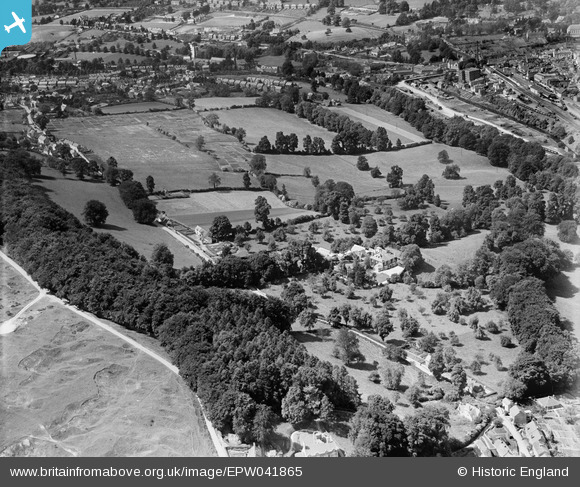
EPW041865 ENGLAND (1933). Woodhouse and environs, Rodborough, 1933
© Copyright OpenStreetMap contributors and licensed by the OpenStreetMap Foundation. 2026. Cartography is licensed as CC BY-SA.
Details
| Title | [EPW041865] Woodhouse and environs, Rodborough, 1933 |
| Reference | EPW041865 |
| Date | June-1933 |
| Link | |
| Place name | RODBOROUGH |
| Parish | RODBOROUGH |
| District | |
| Country | ENGLAND |
| Easting / Northing | 385196, 204355 |
| Longitude / Latitude | -2.2144106748176, 51.737251146013 |
| National Grid Reference | SO852044 |
Pins

angus |
Tuesday 28th of May 2024 08:45:19 PM | |
|
angus |
Tuesday 28th of May 2024 08:43:56 PM | |
|
angus |
Tuesday 28th of May 2024 08:42:13 PM | |
|
angus |
Tuesday 28th of May 2024 08:41:33 PM | |
|
angus |
Tuesday 28th of May 2024 08:40:52 PM | |
|
Robert |
Monday 6th of March 2017 06:37:47 PM | |
|
Robert |
Monday 6th of March 2017 06:36:45 PM |


