
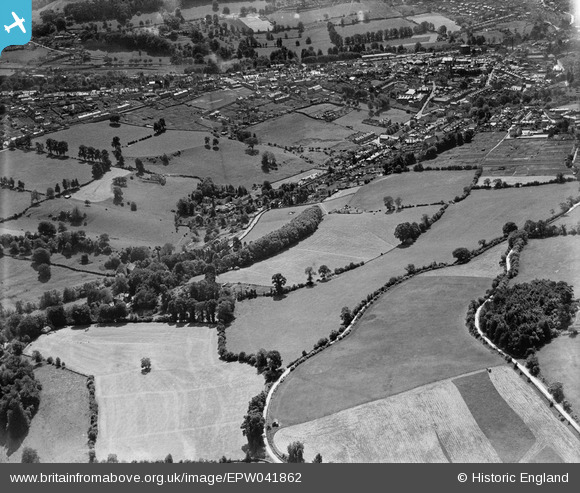
EPW041862 ENGLAND (1933). Slad Road, Uplands and environs, Stroud, 1933
© Copyright OpenStreetMap contributors and licensed by the OpenStreetMap Foundation. 2026. Cartography is licensed as CC BY-SA.
Details
| Title | [EPW041862] Slad Road, Uplands and environs, Stroud, 1933 |
| Reference | EPW041862 |
| Date | June-1933 |
| Link | |
| Place name | STROUD |
| Parish | STROUD |
| District | |
| Country | ENGLAND |
| Easting / Northing | 386102, 205954 |
| Longitude / Latitude | -2.2013528101748, 51.751652681228 |
| National Grid Reference | SO861060 |
Pins
Be the first to add a comment to this image!