
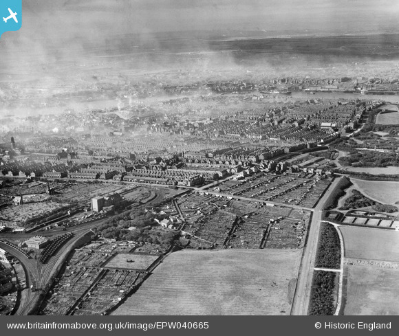
EPW040665 ENGLAND (1932). The town, South Shields, from the south-east, 1932
© Copyright OpenStreetMap contributors and licensed by the OpenStreetMap Foundation. 2026. Cartography is licensed as CC BY-SA.
Details
| Title | [EPW040665] The town, South Shields, from the south-east, 1932 |
| Reference | EPW040665 |
| Date | October-1932 |
| Link | |
| Place name | SOUTH SHIELDS |
| Parish | |
| District | |
| Country | ENGLAND |
| Easting / Northing | 437401, 566949 |
| Longitude / Latitude | -1.4153252617965, 54.995641859643 |
| National Grid Reference | NZ374669 |
Pins

N Dunn |
Monday 1st of October 2018 03:59:11 PM |