
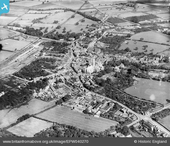
EPW040270 ENGLAND (1932). Howden Minster and the town, Howden, from the south-west, 1932
© Copyright OpenStreetMap contributors and licensed by the OpenStreetMap Foundation. 2026. Cartography is licensed as CC BY-SA.
Details
| Title | [EPW040270] Howden Minster and the town, Howden, from the south-west, 1932 |
| Reference | EPW040270 |
| Date | September-1932 |
| Link | |
| Place name | HOWDEN |
| Parish | HOWDEN |
| District | |
| Country | ENGLAND |
| Easting / Northing | 474538, 428139 |
| Longitude / Latitude | -0.86966533591324, 53.744071391915 |
| National Grid Reference | SE745281 |
