
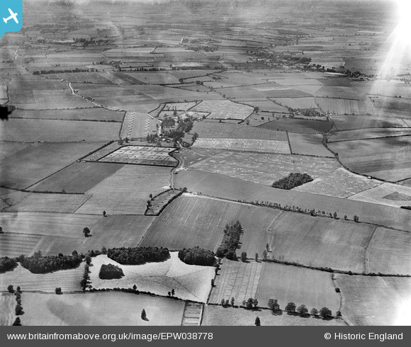
EPW038778 ENGLAND (1932). Rickling and surrounding poultry farming, Rickling, from the north-east, 1932
© Copyright OpenStreetMap contributors and licensed by the OpenStreetMap Foundation. 2025. Cartography is licensed as CC BY-SA.
Details
| Title | [EPW038778] Rickling and surrounding poultry farming, Rickling, from the north-east, 1932 |
| Reference | EPW038778 |
| Date | June-1932 |
| Link | |
| Place name | RICKLING |
| Parish | QUENDON AND RICKLING |
| District | |
| Country | ENGLAND |
| Easting / Northing | 550949, 231754 |
| Longitude / Latitude | 0.19734751248075, 51.963313627006 |
| National Grid Reference | TL509318 |
Pins
Be the first to add a comment to this image!