
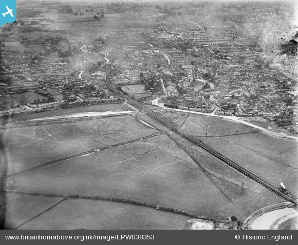
EPW038353 ENGLAND (1932). Mean Ham and environs, Gloucester, 1932
© Copyright OpenStreetMap contributors and licensed by the OpenStreetMap Foundation. 2025. Cartography is licensed as CC BY-SA.
Details
| Title | [EPW038353] Mean Ham and environs, Gloucester, 1932 |
| Reference | EPW038353 |
| Date | June-1932 |
| Link | |
| Place name | GLOUCESTER |
| Parish | |
| District | |
| Country | ENGLAND |
| Easting / Northing | 382988, 219157 |
| Longitude / Latitude | -2.24711614579, 51.870287412389 |
| National Grid Reference | SO830192 |
Pins
Be the first to add a comment to this image!