
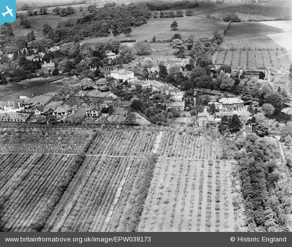
EPW038173 ENGLAND (1932). The village and surrounding countryside, Harbledown, 1932
© Copyright OpenStreetMap contributors and licensed by the OpenStreetMap Foundation. 2025. Cartography is licensed as CC BY-SA.
Details
| Title | [EPW038173] The village and surrounding countryside, Harbledown, 1932 |
| Reference | EPW038173 |
| Date | May-1932 |
| Link | |
| Place name | HARBLEDOWN |
| Parish | HARBLEDOWN AND ROUGH COMMON |
| District | |
| Country | ENGLAND |
| Easting / Northing | 613428, 157969 |
| Longitude / Latitude | 1.0606865887761, 51.2803082743 |
| National Grid Reference | TR134580 |
Pins
Be the first to add a comment to this image!