
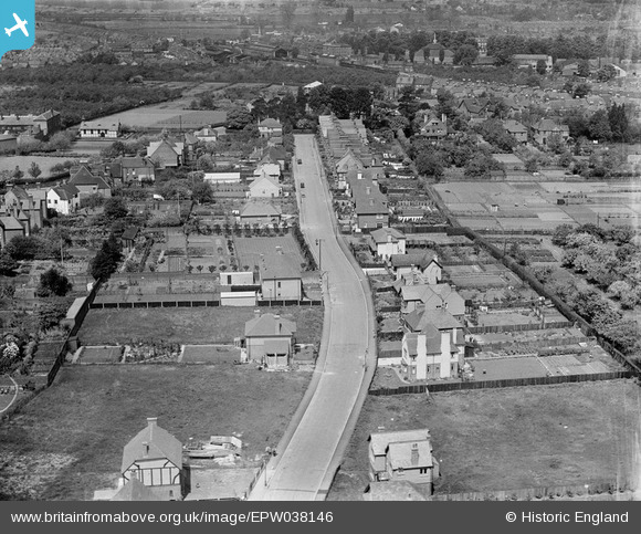
EPW038146 ENGLAND (1932). Housing off Cromwell Road and environs, Canterbury, 1932
© Copyright OpenStreetMap contributors and licensed by the OpenStreetMap Foundation. 2025. Cartography is licensed as CC BY-SA.
Details
| Title | [EPW038146] Housing off Cromwell Road and environs, Canterbury, 1932 |
| Reference | EPW038146 |
| Date | May-1932 |
| Link | |
| Place name | CANTERBURY |
| Parish | |
| District | |
| Country | ENGLAND |
| Easting / Northing | 615195, 156780 |
| Longitude / Latitude | 1.085271285548, 51.268966587923 |
| National Grid Reference | TR152568 |
Pins
Be the first to add a comment to this image!