
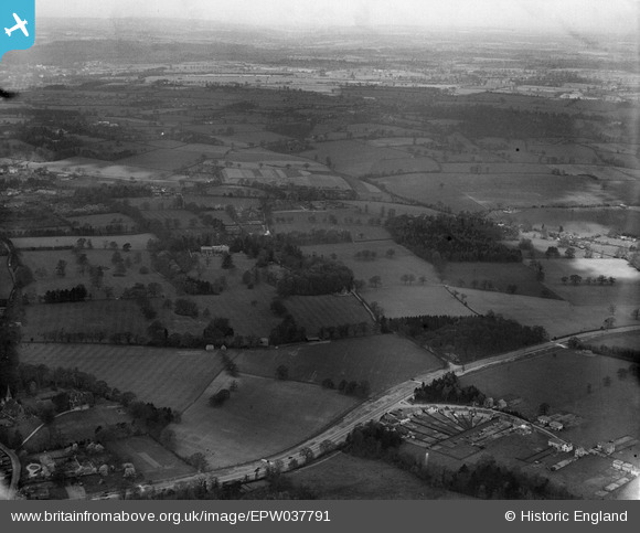
EPW037791 ENGLAND (1932). Garston Manor and surrounding countryside, Abbots Langley, from the south-east, 1932
© Copyright OpenStreetMap contributors and licensed by the OpenStreetMap Foundation. 2025. Cartography is licensed as CC BY-SA.
Details
| Title | [EPW037791] Garston Manor and surrounding countryside, Abbots Langley, from the south-east, 1932 |
| Reference | EPW037791 |
| Date | May-1932 |
| Link | |
| Place name | ABBOTS LANGLEY |
| Parish | ABBOTS LANGLEY |
| District | |
| Country | ENGLAND |
| Easting / Northing | 511560, 201308 |
| Longitude / Latitude | -0.38555961501952, 51.698954973653 |
| National Grid Reference | TL116013 |
Pins

Mrs |
Wednesday 10th of June 2020 01:59:35 PM | |
|
John W |
Friday 22nd of July 2016 09:32:43 PM | |
|
John W |
Friday 22nd of July 2016 09:31:42 PM | |
|
John W |
Friday 22nd of July 2016 09:31:17 PM | |
|
John W |
Friday 22nd of July 2016 09:30:34 PM |