
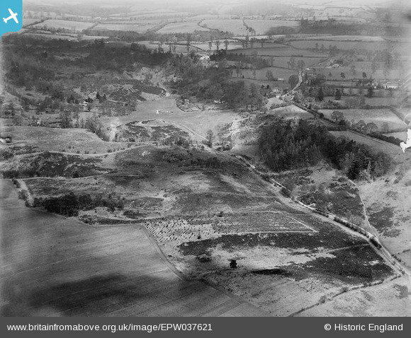
EPW037621 ENGLAND (1932). Habberley Valley, Low Habberley, from the south, 1932
© Copyright OpenStreetMap contributors and licensed by the OpenStreetMap Foundation. 2025. Cartography is licensed as CC BY-SA.
Details
| Title | [EPW037621] Habberley Valley, Low Habberley, from the south, 1932 |
| Reference | EPW037621 |
| Date | April-1932 |
| Link | |
| Place name | LOW HABBERLEY |
| Parish | KIDDERMINSTER FOREIGN |
| District | |
| Country | ENGLAND |
| Easting / Northing | 380139, 277201 |
| Longitude / Latitude | -2.2918909763105, 52.392091473394 |
| National Grid Reference | SO801772 |
Pins
Be the first to add a comment to this image!