
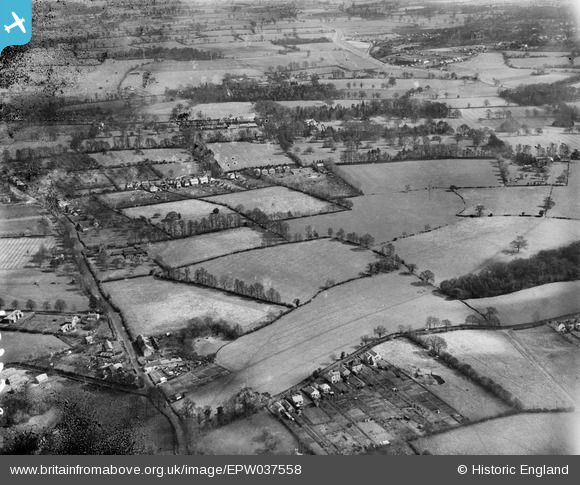
EPW037558 ENGLAND (1932). Woodside, Garston, from the south-west, 1932
© Copyright OpenStreetMap contributors and licensed by the OpenStreetMap Foundation. 2025. Cartography is licensed as CC BY-SA.
Details
| Title | [EPW037558] Woodside, Garston, from the south-west, 1932 |
| Reference | EPW037558 |
| Date | April-1932 |
| Link | |
| Place name | GARSTON |
| Parish | |
| District | |
| Country | ENGLAND |
| Easting / Northing | 510431, 200890 |
| Longitude / Latitude | -0.40202342497454, 51.695421022409 |
| National Grid Reference | TL104009 |
Pins

Howard |
Friday 21st of July 2023 12:06:45 AM |