
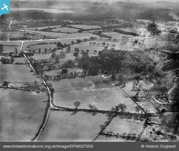
EPW037556 ENGLAND (1932). Countryside around Bloom Wood, Waterdale, from the north-west, 1932
© Copyright OpenStreetMap contributors and licensed by the OpenStreetMap Foundation. 2025. Cartography is licensed as CC BY-SA.
Details
| Title | [EPW037556] Countryside around Bloom Wood, Waterdale, from the north-west, 1932 |
| Reference | EPW037556 |
| Date | April-1932 |
| Link | |
| Place name | WATERDALE |
| Parish | ABBOTS LANGLEY |
| District | |
| Country | ENGLAND |
| Easting / Northing | 511007, 202256 |
| Longitude / Latitude | -0.39325706928071, 51.707585892195 |
| National Grid Reference | TL110023 |
