
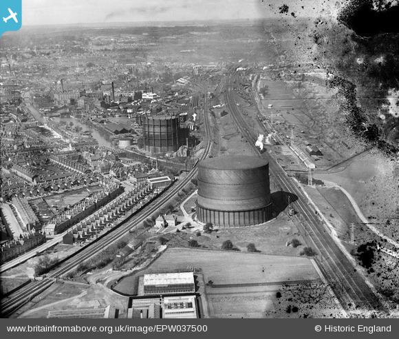
EPW037500 ENGLAND (1932). The Reading Gas Co Works alongside the River Kennet and environs, Reading, from the east, 1932. This image has been produced from a damaged negative.
© Copyright OpenStreetMap contributors and licensed by the OpenStreetMap Foundation. 2026. Cartography is licensed as CC BY-SA.
Details
| Title | [EPW037500] The Reading Gas Co Works alongside the River Kennet and environs, Reading, from the east, 1932. This image has been produced from a damaged negative. |
| Reference | EPW037500 |
| Date | April-1932 |
| Link | |
| Place name | READING |
| Parish | |
| District | |
| Country | ENGLAND |
| Easting / Northing | 473273, 173662 |
| Longitude / Latitude | -0.94527142213313, 51.456700644983 |
| National Grid Reference | SU733737 |
Pins

John Wass |
Friday 5th of June 2015 09:27:01 PM | |
|
chainbull |
Tuesday 25th of November 2014 09:48:55 AM | |
|
chainbull |
Tuesday 25th of November 2014 09:48:25 AM | |
|
Chris Aldridge |
Thursday 27th of February 2014 09:15:00 AM | |
Robert Tims |
Tuesday 28th of January 2014 09:41:13 PM | |
This is still a primary school. |
Liam Bond |
Monday 6th of February 2017 10:12:04 PM |
This is still a primary school. |
Liam Bond |
Monday 6th of February 2017 10:12:09 PM |

Class31 |
Monday 9th of September 2013 10:53:15 PM |

User Comment Contributions
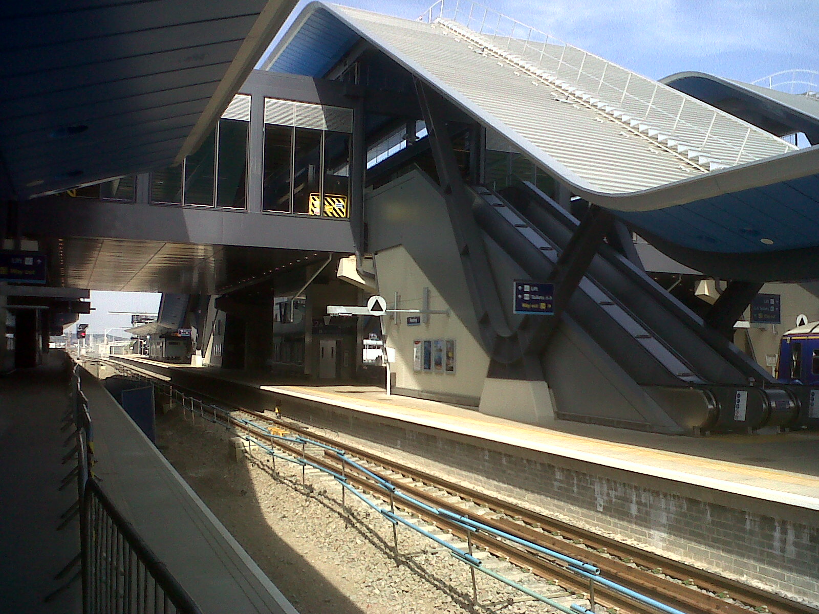
View of Reading Station looking west taken today. |
Class31 |
Tuesday 16th of July 2013 09:29:46 PM |